Drone Services · 07
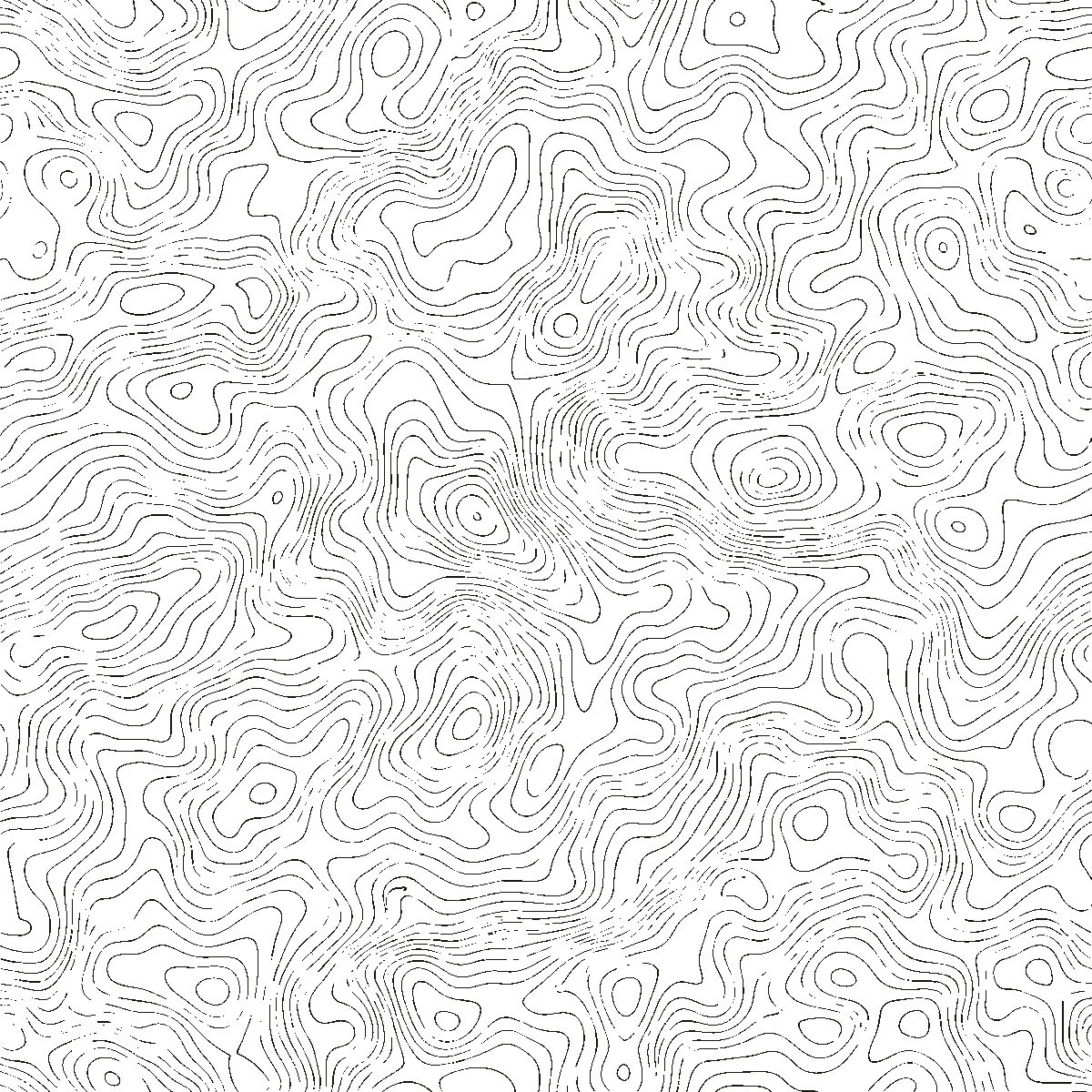
Digital Terrain Modeling
High-fidelity DTMs for hydrology, drainage and civil design.
Request a QuoteHigh-fidelity DTMs for hydrology, drainage and civil design.
Request a QuoteHigh-fidelity Digital Terrain Models built from survey-grade capture — the foundation for hydrology, watershed delineation, flood modeling and civil design.
We strip vegetation, structures and noise from the capture to produce a bare-earth model of the ground itself, then generate contours and flow lines from it. It's the clean terrain foundation your drainage, flood and civil design work depends on.
A clean, design-ready terrain surface with contours — the foundation for drainage and civil work.
Civil engineers and hydrologists who need an accurate bare-earth surface for design and water modeling.
Designing drainage or grading on a rough or vegetated surface produces flawed results. A true bare-earth model means your analysis starts from reality.
Tell us about the scope, the site and the deliverable you need. We reply within one business day with mobilization timing and a quote.